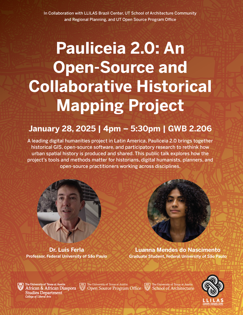
The LLILAS Brazil Center is co-sponsoring a guest lecture and demo by Dr. Luis Ferla, professor of history and digital humanities, Federal University of São Paulo (UFSP), and graduate student Luanna Mendes do Nascimento (UFSP), at UT Austin focused on the Pauliceia 2.0 collaborative historical mapping platform. The Department of African and African Diaspora Studies, UT School of Architecture, and UT Open Source Program Office served as co-sponsors. Find more details here: https://liberalarts.utexas.edu/events/opa-pauliceia-2-0-an-open-source-and-collaborative-historical-mapping-project.
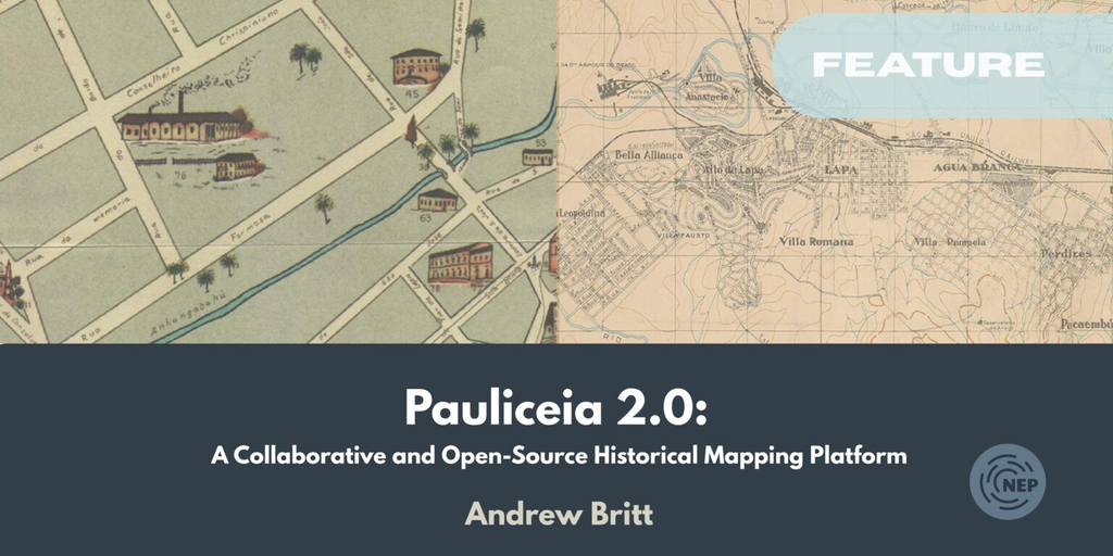
Coinciding with the public lecture, I wrote a feature about Pauliceia 2.0 for Not Even Past, the UT History Department’s digital magazine. Find the introduction to the feature below and read the full article.
“While passing through Austin on vacation in 2015, Brazilian historian Luis Ferla went for a walk across the UT campus. He was mulling over new projects for the research lab he coordinates, “History, Maps, and Computers” (Hímaco), at the Federal University of São Paulo.
“As he crossed the Forty Acres, inspiration struck: what if, he thought, we developed a digital mapping platform where a variety of people–researchers, teachers, students, even neighborhood residents–could create, explore, and share information about a city’s past? What if, he wondered, we made the underlying technical architecture of that platform openly and freely available for use in other urban contexts, in Brazil and beyond? Ferla’s vision–what Hímaco students would come to call a “Google Maps for the past”–was set.
“In the ten years since that reflective walk, the initial idea has become a beta-stage reality: the collaborative, open-source historical mapping platform Pauliceia 2.0.“
Leave a Reply